Carlo Friedrich · 4 October 2026
Indigenous Knowledge Systems Guide Seasonal Water Flow Management Across Overlooked Tropical River Catchments
Traditional practices rooted in centuries of observation allow communities in overlooked tropical river catchments to anticipate and direct seasonal water flows with precision. These systems draw on accumulated knowledge of rainfall patterns, plant indicators, and animal behaviors that signal shifts in river levels, and they operate across remote basins in regions such as northern Australia, the Amazon basin fringes, and parts of insular Southeast Asia where formal monitoring remains sparse.
Core Mechanisms of Indigenous Water Guidance
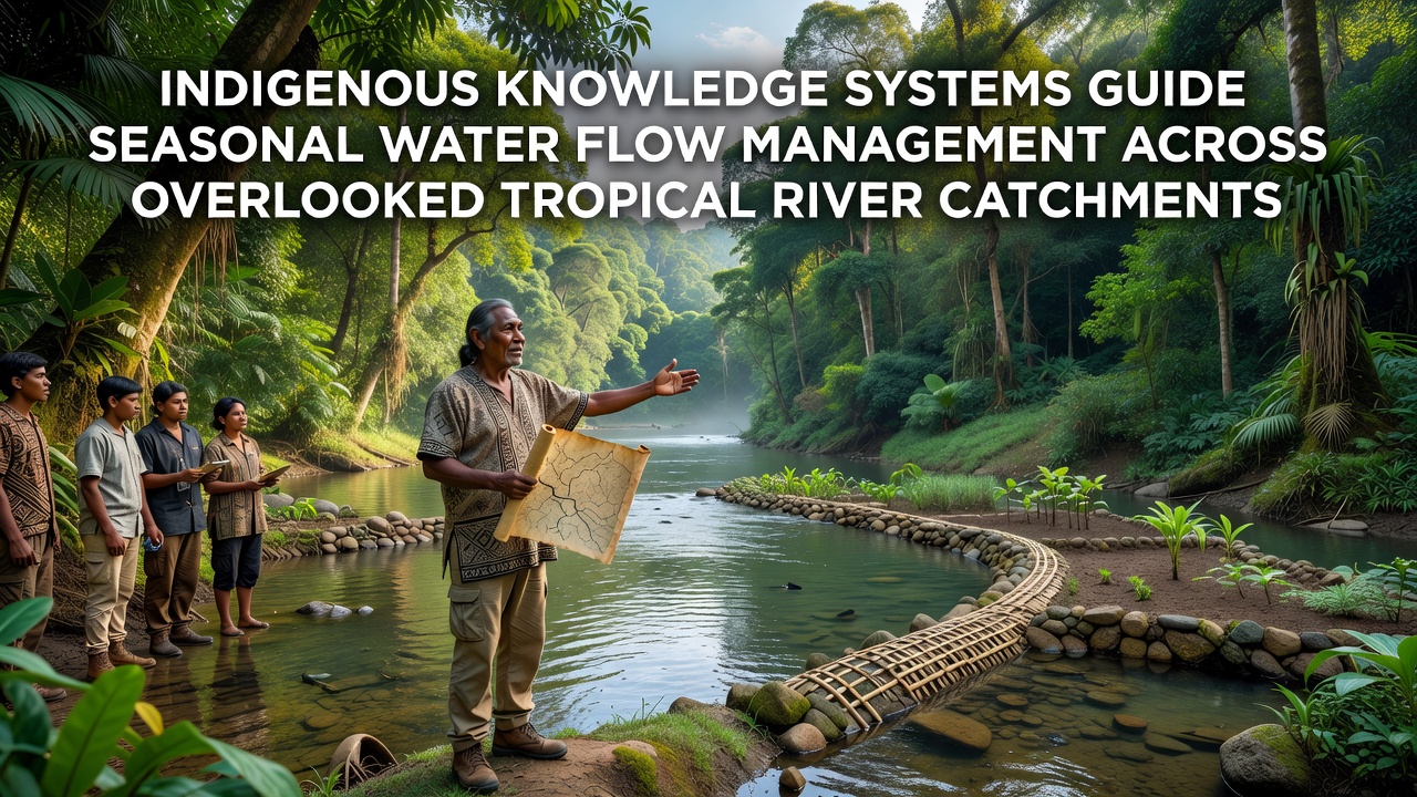
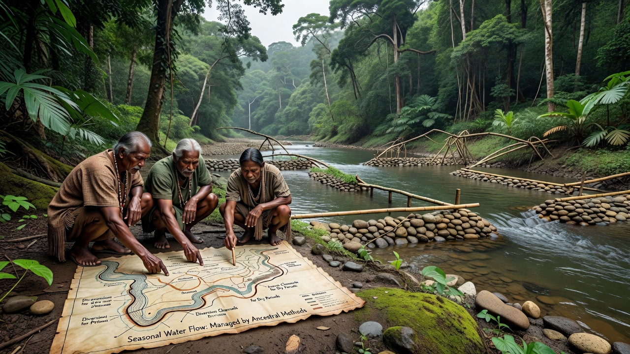
Observers note that elders track specific tree species flowering or bird migrations to predict the onset of wet season pulses, while communities construct low earthen weirs and vegetated channels that slow and divert floodwaters into storage depressions during peak flows. These structures activate naturally when river stages rise, and they distribute moisture across floodplains that support dry-season agriculture without requiring mechanical pumps or external energy inputs.
Studies conducted by the Commonwealth Scientific and Industrial Research Organisation reveal that such techniques maintain base flows in tributaries long after regional rains cease, sustaining both human needs and aquatic habitats through prolonged dry periods. Data collected between 2022 and 2025 across multiple catchments show consistent reductions in downstream erosion when these traditional diversions remain intact.
Regional Applications and Recent Developments
In October 2026 researchers presented updated mapping of these practices at an international hydrology symposium, highlighting their application in three previously undocumented catchments in eastern Indonesia. The presentations included satellite imagery cross-referenced with oral histories that document how communities adjust weir heights annually based on observed lunar cycles and wind patterns.
Similar approaches appear in the upper reaches of the Fly River system in Papua New Guinea, where clan groups maintain log-and-stone barriers that spread seasonal floodwaters across sago groves. These barriers integrate with surrounding forest regrowth cycles, and they reduce peak discharge velocities that would otherwise scour riverbanks and destroy downstream gardens.
Integration Challenges and Evidence of Effectiveness
Modern agencies have begun incorporating these methods into catchment planning documents after pilot projects demonstrated measurable improvements in water availability. A 2024 report from the Australian Department of Climate Change, Energy, the Environment and Water documented that sites combining indigenous structures with limited gauge networks recorded more stable dry-season flows than comparable catchments relying solely on engineered reservoirs.
Yet coordination remains uneven because formal water allocation frameworks rarely recognize customary tenure over seasonal flow paths. Researchers continue to document cases where external development projects have removed traditional weirs without replacement, leading to abrupt changes in local hydrology that communities then struggle to mitigate through new construction.
Future Monitoring and Knowledge Transmission
Training programs now pair young community members with elders to record indicator species and weir maintenance schedules in digital formats that can interface with government databases. These efforts aim to preserve the observational precision that underpins the systems while allowing broader dissemination across overlooked catchments where sensor coverage stays limited.
Evidence from multiple river basins indicates that retention of these knowledge systems correlates with lower rates of channel incision and higher groundwater recharge during transitional seasons, offering a practical template for water management where conventional infrastructure remains cost-prohibitive or logistically challenging.
Conclusion
Indigenous knowledge systems continue to shape seasonal water distribution across tropical catchments that receive little external attention, relying on integrated observation, adaptive structures, and intergenerational transmission. Ongoing documentation and selective integration with contemporary monitoring tools provide pathways for wider application while preserving the core practices that have sustained these landscapes through variable climate cycles.