Ulrich Lange · 20 September 2026
How Volunteer Networks Track Fog Drip Contributions to Water Cycles in Isolated Tropical Valleys
Volunteer networks have developed systematic approaches to measure fog drip in remote tropical valleys where standard rainfall data often underrepresents total water inputs. These groups install passive fog collectors that capture droplets condensing on vegetation and mesh surfaces, then route the collected water into graduated cylinders or automated tipping buckets for precise volume recording. Data from such setups reveal that fog drip can account for 20 to 40 percent of annual moisture in certain cloud forest catchments according to measurements compiled by regional hydrology programs.
Deployment of Simple yet Effective Gauges
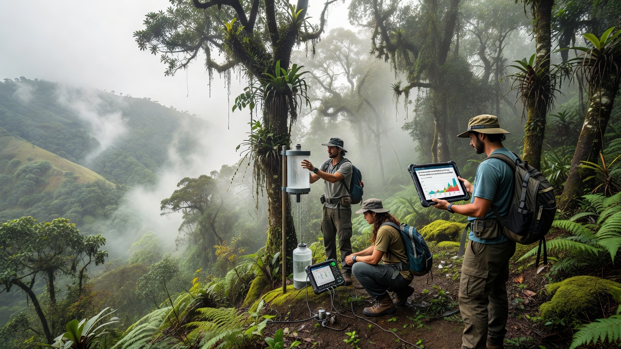
Participants place standardized cylindrical collectors at multiple elevations along valley slopes because fog frequency changes sharply with altitude and aspect. Each station includes a nearby rain gauge to separate fog-derived water from direct precipitation and volunteers log daily readings on shared digital platforms that timestamp entries with GPS coordinates. This method allows researchers to calculate net fog contribution by subtracting measurable rainfall from total collector output while cross-checking against temperature and humidity sensors that record condensation events.
Calibration occurs quarterly when teams replace mesh screens and verify collection surfaces remain free of debris that could alter droplet adhesion rates. Many networks also deploy throughfall gauges beneath the canopy to compare canopy interception with open-site readings and the combined datasets show how vegetation structure amplifies fog capture in narrow valley corridors.
Data Sharing and Quality Control Protocols
Centralized databases maintained by university-affiliated coordinators aggregate submissions from dozens of sites across Costa Rica, Ecuador, and parts of Southeast Asia. Volunteers receive training on consistent measurement intervals and outlier detection so that sudden spikes from wind-driven rain do not skew fog estimates. Automated scripts flag entries that deviate more than two standard deviations from site averages prompting field verification within 48 hours.
Geographic information systems integrate these point measurements with satellite-derived cloud cover maps to extrapolate contributions across entire watersheds. The resulting models indicate that fog drip sustains baseflow in headwater streams during dry seasons when convective rainfall declines sharply. In September 2026 several networks plan coordinated campaigns to expand sensor coverage into previously unmonitored valleys in the Andes foothills.
Integration with Broader Hydrologic Models
Collaborations with national meteorological services allow volunteer-collected fog data to feed into regional water balance equations. Agencies such as the Australian Bureau of Meteorology have incorporated similar citizen-science inputs when assessing orographic precipitation patterns in comparable environments. These inputs improve predictions of groundwater recharge and inform decisions about water allocation for downstream agriculture and communities.
Long-term records now span more than fifteen years at some established stations revealing interannual variability tied to El Niño and La Niña cycles. Volunteers compare fog drip volumes against concurrent stream discharge measurements obtained from pressure transducers installed at valley outlets and the correlations demonstrate that fog inputs can delay the onset of low-flow conditions by several weeks.
Challenges in Remote Locations
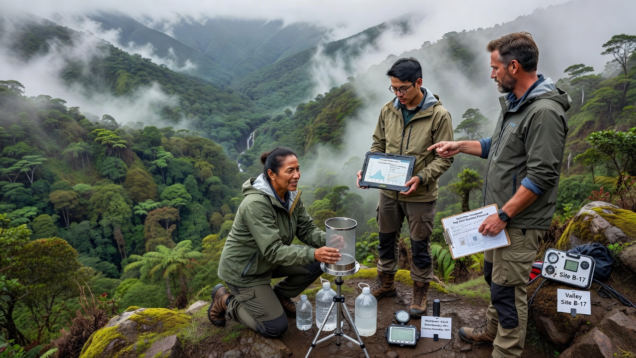
Access difficulties require volunteers to hike several hours with equipment packs while seasonal landslides can destroy stations without warning. Battery life for data loggers remains limited so teams rotate solar panels and replace units during monthly visits. Insect damage to wiring and mesh corrosion from high humidity further demand frequent maintenance schedules that rely on local community members for rapid response.
Despite these constraints cumulative datasets have grown large enough to support peer-reviewed analyses published through institutions including the Commonwealth Scientific and Industrial Research Organisation. The studies quantify how fog contributions vary with vegetation type and topography while highlighting the value of distributed volunteer observations that complement expensive automated weather networks.
Conclusion
Volunteer networks continue refining protocols for fog drip quantification in isolated tropical valleys by combining low-cost hardware with rigorous data management. Their measurements supply essential inputs for water cycle models that guide conservation and resource planning in regions where conventional monitoring remains sparse. Ongoing expansion planned for September 2026 will add new sites and extend existing time series allowing more accurate assessments of how changing climate patterns may alter fog frequency and its hydrologic significance.