Kai Baumann · 6 September 2026
Decoding Microclimate Patterns in Remote Equatorial Highlands Through Sensor Networks
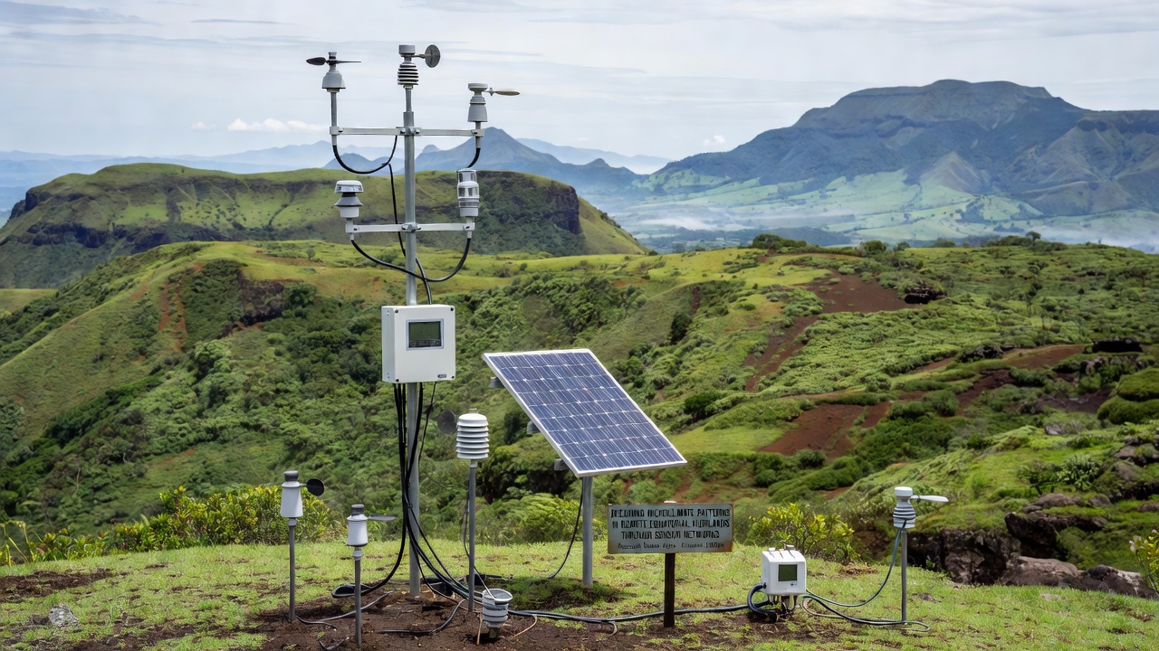
Remote equatorial highlands present distinct challenges for climate observation because elevation gradients create rapid shifts in temperature and moisture over short distances. Researchers deploy sensor networks to capture these variations at scales that traditional weather stations cannot resolve. Networks consist of compact nodes measuring air temperature, relative humidity, soil moisture, wind speed, and solar radiation at intervals of minutes rather than hours.
Data transmission relies on low-power wide-area protocols combined with satellite uplinks where cellular coverage remains absent. In regions such as the Ecuadorian Andes and the Kenyan highlands, teams have installed arrays that send readings to central servers every fifteen minutes. These streams allow models to reconstruct how afternoon cloud formation alters local evapotranspiration rates on slopes facing different aspects.
Network Architecture and Sensor Placement
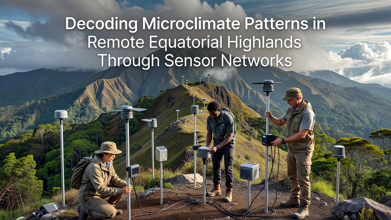
Placement strategies follow topographic contours rather than uniform grids because valleys accumulate cold air drainage while ridges experience stronger insolation. Engineers position nodes at 50-meter elevation intervals along transects that span from 2000 to 4000 meters above sea level. Redundant power systems use solar panels paired with lithium-iron-phosphate batteries rated for daily temperature swings exceeding 20 degrees Celsius.
Calibration occurs quarterly through portable reference instruments carried by field technicians. Drift in humidity sensors exceeds two percent after six months of exposure to volcanic dust, so maintenance schedules adjust accordingly. One installation completed in the Peruvian Cordillera Blanca during late 2025 demonstrated that mesh networking reduced data gaps from 18 percent to under four percent compared with earlier star-topology designs.
Data Processing and Pattern Extraction
Raw measurements undergo quality control filters that flag outliers caused by sensor icing or animal interference. Algorithms then interpolate values across unsampled locations using topographic covariates such as slope angle and vegetation index derived from satellite imagery. Researchers apply clustering techniques to identify recurring microclimate zones that persist across seasons yet shift position during El Niño events.
Analysis of three years of continuous records from sites in East Africa revealed that nocturnal temperature inversions strengthen during the dry season, trapping moisture near the ground and elevating fungal disease risk for highland crops. These patterns emerge clearly only when sampling density exceeds one station per square kilometer. Coarser networks smooth away the gradients that drive local biodiversity hotspots.
Integration with regional forecasting models occurs through data assimilation frameworks maintained by national meteorological services. The National Oceanic and Atmospheric Administration incorporates high-density highland observations into its experimental convection-permitting simulations, improving precipitation forecasts for downstream agricultural zones. Similar efforts appear in reports from the Kenya Meteorological Department, which began ingesting sensor data from the Aberdare range in early 2026.
Applications in Agriculture and Ecology
Farmers in highland communities receive tailored advisories derived from network outputs. Alerts about frost risk arrive 12 hours earlier when inversion layers are detected by multiple nodes. Coffee cooperatives in Colombia have adjusted harvest timing based on humidity duration thresholds that correlate with berry borer activity. Ecological monitoring programs track how microclimate refugia support endemic plant species during regional warming episodes.
Long-term records also support attribution studies. When combined with reanalysis products, the sensor data show that diurnal temperature ranges have narrowed by 0.8 degrees Celsius per decade at elevations above 3000 meters since 2000. Such trends affect cloud forest boundaries and the upslope migration of agricultural pests. September 2026 marks the scheduled release of a five-year synthesis report covering 14 highland catchments across three continents, coordinated through international research consortia.
Challenges and Ongoing Developments
Power reliability remains the primary constraint because cloud cover during wet seasons reduces solar charging windows. Some networks now incorporate small wind turbines on exposed ridges to supplement generation. Data latency drops when teams test 5G backhaul in pilot areas, yet most remote sites continue to depend on Iridium or Starlink terminals for reliable uplink.
Standardization efforts advance through working groups that define metadata formats and calibration protocols. Open-source firmware releases allow local technicians to maintain nodes without proprietary tools. These steps reduce costs and increase the geographic coverage of networks that once remained limited to a few well-funded research sites.
Conclusion
Sensor networks continue to refine understanding of microclimate dynamics in equatorial highlands by supplying observations at the spatial and temporal scales required for process-level insight. Continued expansion of these systems, paired with improved modeling frameworks, supports more precise predictions for water resources, agriculture, and ecosystem management across elevation gradients where conventional monitoring has historically fallen short.